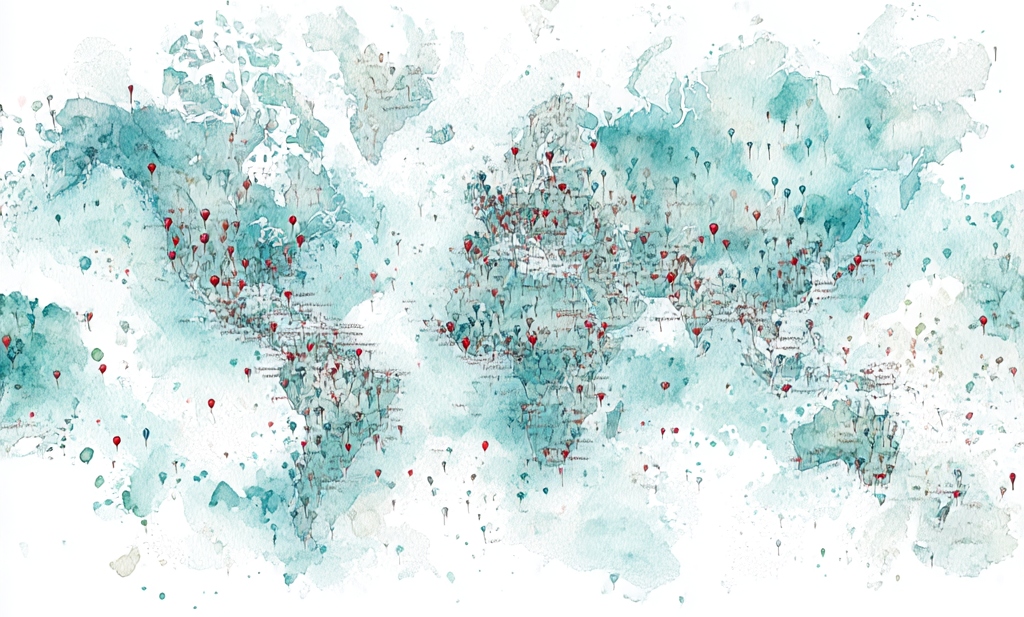
WordPress used to have a widget I loved. I love maps in any case—I’m a certifiable cartophile, and this map I loved in particular. A blogger could put this widget on the side of the page, and its map showed all the countries in which the blog had been read. SO cool.
I can still look up the countries in the blog stats when I want to, so at least the information isn’t lost to me. This week it shows my blog has been read in the United States, United Kingdom, Canada, India, Australia, Pakistan, Germany, Philippines, Singapore, Ireland, France, South Africa, Japan, New Zealand, Sweden, Netherlands, Thailand, Russia, Romania, Spain, Barbados, Mexico, Finland, Bulgaria, Serbia, Portugal, Nigeria, Mauritius, South Korea, Kenya, Italy, Denmark, Switzerland, Belgium, Taiwan, Saudi Arabia, Norway, Israel, Indonesia, and Bangladesh. Holy crap.
Blogging truly is a more global endeavor than you might realize.
But that information is much more fun on a map!
I do love a map, and a paper map above all. I lived in Idaho for my first 45 years, and I had a 5-foot-tall map of the state on one of my walls, complete with all the little Forest Service roads that you need a four-wheel-drive to traverse. I highlighted every road I traveled, and on road trips I planned routes to get the maximum number of new roads highlighted. Some of those were hard-earned highlights, like the road we took out of the mountains above Sun Valley. I had to disengage my fingernails from the upholstery, after all of its narrow turns and curves and drop-offs, with gouges carved out of the road by water—and when we reached the bottom, we had to dig ourselves out of a spot where a beaver dam had flooded and muddied the road. It was only on the back side of that road that we spotted the sign: “Passenger cars not allowed.” (Oops.) My little Subaru 4×4 earned its stripes on those back roads, and so did I.
When we moved to Oregon I bought an Oregon atlas—the whole state divided into detailed quadrants, with all those little back roads—and got out my highlighter again. A new state to explore!
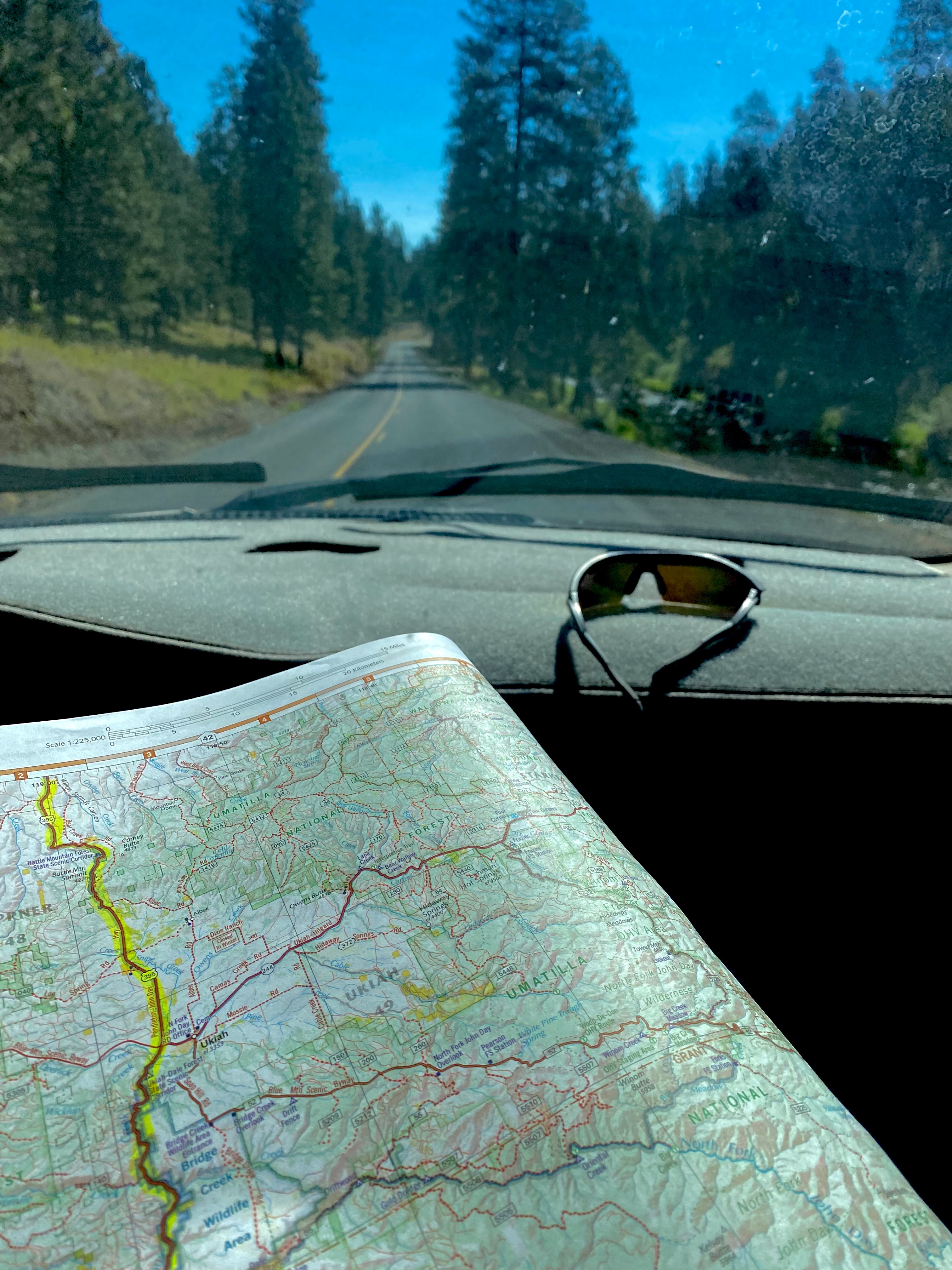
Don’t get me wrong, about my preference for paper maps—I’m still grateful that these days our phones can give us accurate driving directions. I appreciate the interactive nature of the traffic-warnings and road conditions (lots of mountain passes, in both states!), and I’m never more glad than when we’re navigating the hubbub of a hub like Portland or Seattle. But I still like to have that paper map open on my knee as we drive.
My very first highlighted map was a National Geographic political map of Europe, the summer of 1984. I was nine years old and my sister was six, and our parents took a six-month sabbatical to rent a violently-green VW bus and drive through 18 countries! We even went behind the Iron Curtain (East Germany, Poland, Czechoslavakia, Hungary, Yugoslavia), and gathered stamps in our passports from countries that don’t even exist anymore. Every evening the four of us sat down with the map, and a highlighter, and talked about where we had been that day, and highlighted our route.
I’ve always assumed that my love of maps stemmed from my love of travel—but there’s also something about the maps and charts in their own right—something about the format that fascinates me. I pore over sailing charts even when our sailboat is anchored or moored. My National Geographic map of the Big Island has made several guest appearances on our couch in recent evenings, as we gear up (literally!—my snorkel-gear is already in my bag!) for our Hawai’i trip in a couple weeks. I should remember to pack a highlighter!
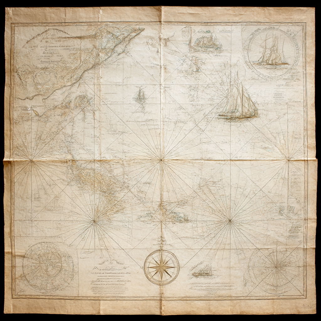
The wall of my office (my Hobbit Hole!) has a chart of the Pacific Ocean that dates from the 1840s—the decade when my fictional novel-characters are whaling in those waters. It is not an exact match to today’s maps—although the coastlines surveyed by Captain Cook haven’t altered much since he set them down. (He had his failings, but that man was a gifted cartographer!)
In his book MapHead, Ken Jennings (who apparently hosts Jeopardy! now) explores all the contours and landscapes of people’s relationships with maps—a book right up my alley! It happens that my favorite (living) Fantasy author, Brandon Sanderson, was Jennings’s college roommate, so what I remember most clearly from his book is the role that MAPS play in relation to fantasy fiction.

And after all, Bilbo Baggins kept Thror’s map, and hung it on his wall after his adventures—just like my map of Idaho.
I don’t imagine he owned a highlighter, though.
“Not all those who wander are lost.”
~J.R.R. Tolkien
 Kana's Chronicles
Join the Conversation!